Saturday, January 21, 2012


This mine adit was fun to check out, but I made a small error in calculation on the way out and sprained my ankle again. The same one I did a couple of weeks ago on another ride. When will I learn ?


Just a note, the cabin pics and the rest of these pics were taken on the Big Maggie May trail. I stopped to eat my lunch while at the cabin and these two guys showed up. They were a bit missplaced, but they were wanting to go to where I had just come from so I was able to show them my map and get them headed in the right direction. About 40 yards from the cabin was this nice little creek. I think it was spring fed and then went back into the ground after about 100 yards.


I think these are the remains of an old miners cabin. I've seen pictures of it before the range fire that showed it between two trees. At that time it still had a tin roof on it. Unfortunately, vandals have pushed over some of the remaining walls.
Any guesses to what this is? I have no idea, maybe a water tank.


More pics along the way. I think he really likes playing with rocks.
I think God was playing with some rocks here. No one else I know could have stacked them there.


I think I saw the guy who parked this here walking toward the freeway to find some help to get it running again.


I had to ford the river at several places while the trail was in the bottom of the canyon. I was hearing quite the roar of water and had to check it out. This tiny little fall was making that big roar.


More pics along the way. Here New River has flowing water in it. It was dry as a bone nearer to where I entered the canyon. This is pretty common here in the desert.


Pics along the route.


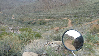
The top pic of this post is looking back at the town of New River. The next is looking in my direction of travel. The next are just cool rocks.
Before the days of political correctness corrupted America, this hill would have been named Squaw Tit. Now they just call it Mammory Peak.


The first four miles after leaving I-17 you are on private property that appears to consist of a nice ranch. After that you enter the Tonto National Forest.
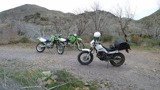
Jan 21, 2012 Today I rode the Table Mesa Trail and the Big Maggie May Trail. I really didn't expect much when I left my home, but both trails are listed in Backcountry Adventures AZ, so I thought I would check them out. I'm thinking about setting a goal of riding every trail listed in the book just for the fun of it. The first picture is where I was leaving the flat boring desert and looking at the hills that start near where Table Mesa trail exits I-17.

Monday, January 9, 2012


All in all if was a very fun day. I met some really nice people that seem to like to do the same type of riding that I enjoy. I dropped my bike several times (3 or 4) but looking back I picked some bad lines for the steepness of the hill, so I will try to do a little better next time out. I need to improve on that cause at my age it is getting too hard to pick the damn thing back up.<G> One of the guys (Katt) had a couple of Go Pro cameras mounted on his helmet and bike, so if he doesn't mind I will post a link when he post it. That's all till the next ride. 


We had to share the road at times with these side by sides. They are pretty cool, but I think I prefer the speed of two wheels. Brock was posing for a picture to show his kids. He took a pretty good one.